
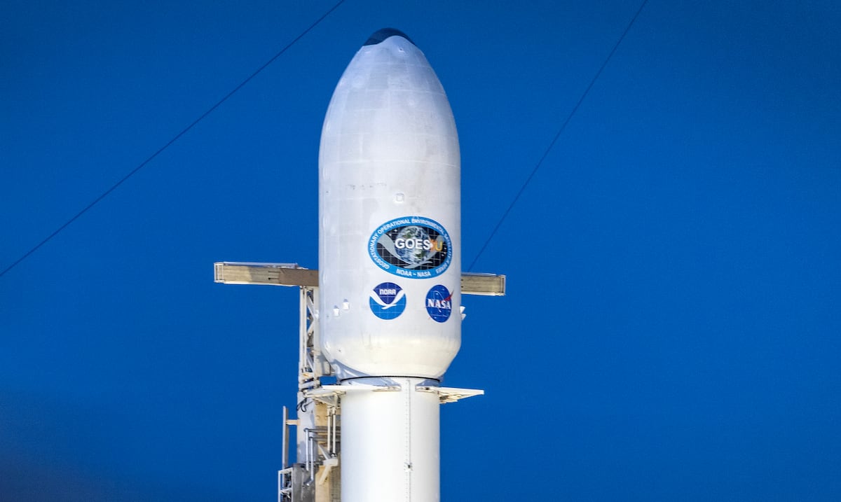
The newly launched weather satellite GOES-U will help weather experts in the Caribbeanincluding Puerto Rico, to forecast climate hazards – such as hurricanes and floods– more precisely. The satellite, of the National Oceanic and Atmospheric Administration (NOAA, in English), is the latest piece of the most sophisticated climate monitoring system in the Western Hemisphere.
“This satellite will help us maintain 24/7 coverage.”he stressed Jose Alamocoordinator of NOAA’s International Offices, in an interview with The new day.
He explained that, with new instruments, GOES-U will be able to scan the surface of the Land every 30 seconds, or twice the satellite it will replace. Along with the ability to examine territories between the western coasts of Africa and North America, it will be able to monitor tropical cyclones more accurately as they appear in the Atlantic basin.
GOES-U carries several instruments that will deepen understanding of climate hazards in the Caribbean. With the ability to observe ocean surface temperatures, for example, scientists will be able to better monitor cyclone development. Additionally, the satellite can identify the location, frequency and severity of lightning over regions of interest. This information will be vital to track events – such as hurricanes – that can rapidly intensify in the Caribbean.
The data that will come from GOES-U will be a valuable resource for Puerto Rican meteorologists, allowing them to improve their climate models and keep citizens informed about any developments. “These satellite images, so frequent and of such high resolution, could confirm whether the models are working well,” Álamo noted.
In a separate interview, Ernesto Moralesnotice coordinator National Weather Service (SNM), in San Juan, pointed out that satellites like GOES-U are important for advances in weather science.
“These satellites have gradually improved and continue to help meteorologists, especially, to make their forecasts.”he said, highlighting that images from space have helped provide more accurate forecasts about the formation and development of hurricanes.
Regarding the availability of GOES-U information for the Caribbean, Morales indicated that, starting in April 2025, the SNM office in San Juan and the public will have access to photos and scans from the new satellite. “This is the good thing about science. “Science has no limitation on who uses the information.”he pointed out.